News
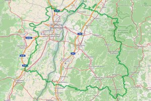
Strasbourg-Ortenau Eurodistrict: an interactive map for better services for citizens
March 2017
In February, the Strasbourg-Ortenau put in place an online geographic information system (GIS) that provides citizens with information about daily life in the cross-border territory (schools, markets, charging points for electric cars, etc.).
The tool also allows people to get to know the Eurodistrict and neighbouring country better.
Back to list
